Devon Peet and Whitney Rudeseal
STREETVIEW PHOTO TOURS
Summary
This Project takes a series of equirectangular projection panoramas, and allows the user to navigate through them with the Google Streetview Interface.
Summary
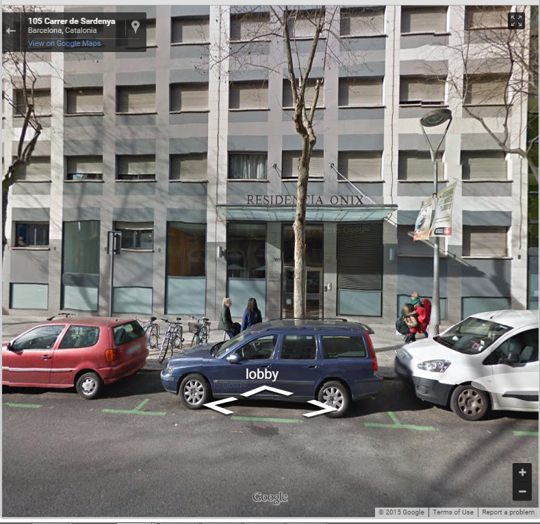
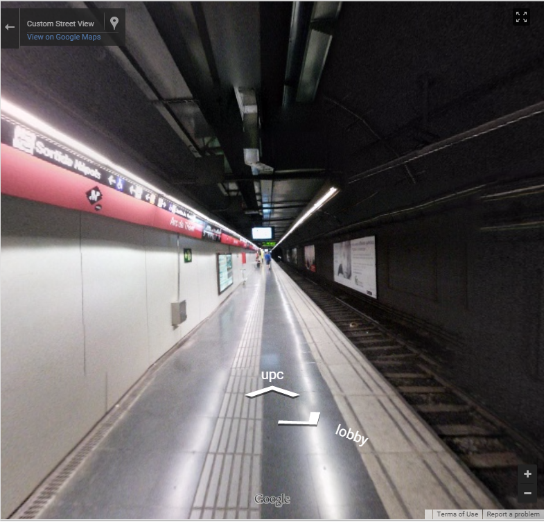
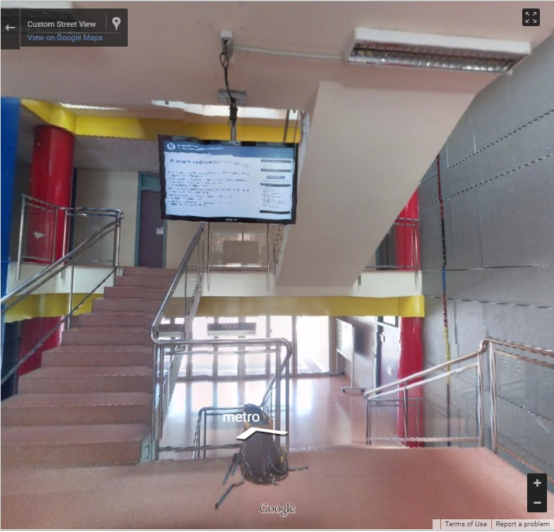
Try it out here: Barcelona Tour (Click the "lobby" link)Earlier this summer, Devon’s brother moved into a new apartment, and sent the rest of the family a slew of pictures. The problem was, even with all of them, we still couldn’t visualize the layout, or how the pictures moved through the house. Thus this project was born. Instead of pictures, a 360 degree panorama of each room connected by Google Streetview allows each person to walk through the space on their own terms and clearly shows how everything comes together.
To do this, first you must take 360 degree panoramas. The easiest way to do this is to use the “photosphere” feature of Google Camera. If this is not an option, tools such as GIMP and Photoshop can combine a series of pictures into the equirectangular projection required by Google Streetview. We wrote a program that takes these pictures and a text file called “headings,” and then outputs the html file required to view the “tour.”The generator takes in input images along a specified path. If not path is specified it uses “testimages.” Numpy is used to resize the images to the correct size for streetview (2048x1024). Then the headings file is parsed, and the html file is created by looping through each image and its respective links.
Our example file highlights some of the day to day places we visited while in Barcelona!