VGIS Software Release Page
VGIS is a research project of the Data
Visualization Group in the GVU Center at
Georgia Tech. Please go to our VGIS page for details.
VGIS alpha 2.0 Release -- new 2/02/01
VGIS alpha 2.0 is now available for limited release to our partner
universities. The VGIS system has
documentation available on its use. Note that the documentation is also included in the
release. The documentation is still local-centric, that is, it
mentions disks, etc. that are local to Georgia Tech, but we're
working on fixing that. To build VGIS, start with this
README. It is an updated version of the README you'll find
in the release. You'll need a sample data set to get started. It's
rather small by dataset standards, 53M zipped, but we're working on
releasing something more detailed.
The VGIS software release has been tested and run
on Windows NT and SGI Irix 6.5 platforms. As the README above
indicates, a high-end graphics card is needed for good performance
under NT.
The release contains communication libraries developed
under the
ECho project at Georgia Tech. As with the VGIS software,
the ECho libraries are for research use only.
Please mail the VGIS group for
instructions on downloading the source and data sets.
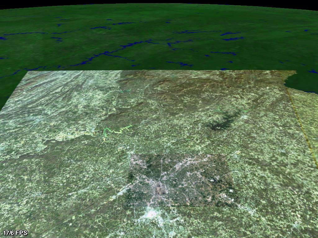
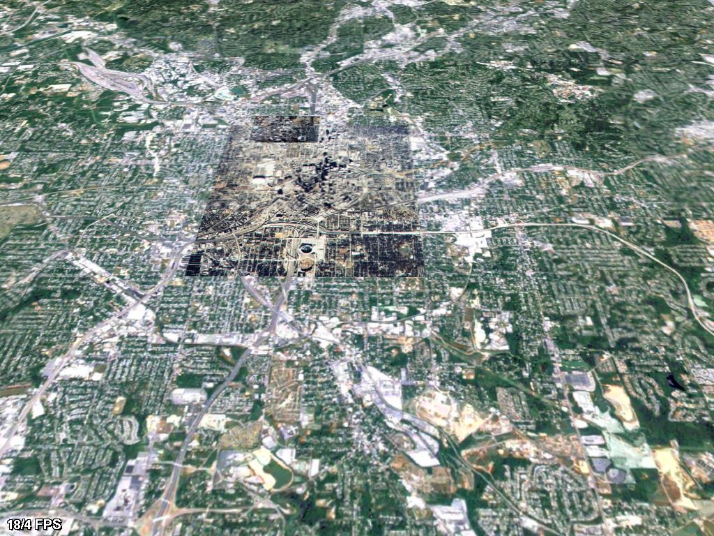
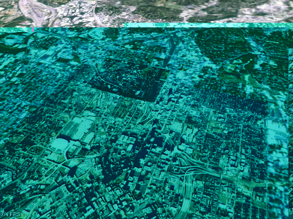
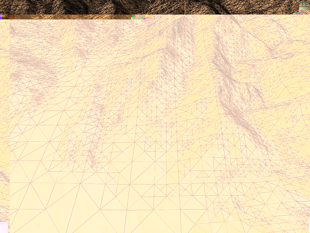
Example Images (1024 x 768)
Click on images to view them at full
resolution
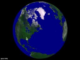
Global view (8 km resolution) |
Eastern United States (1 km resolution) |
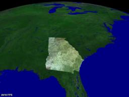
Georgia (100 meter resolution) |
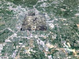
Metro Atlanta (10 meter resolution) |
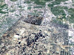
Downtown Atlanta (2 meter resolution) |
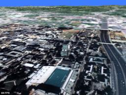
Georgia Tech (0.5 meter resolution) |
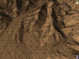
Continuous level of detail triangulation |
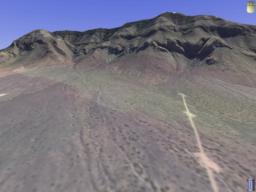
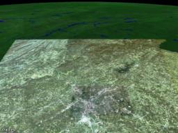
Phototextured terrain |
Gouraud shaded terrain |
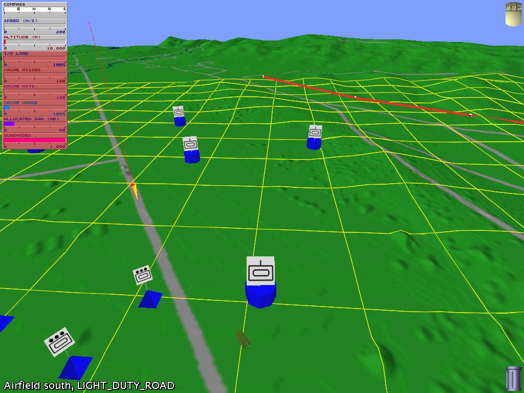
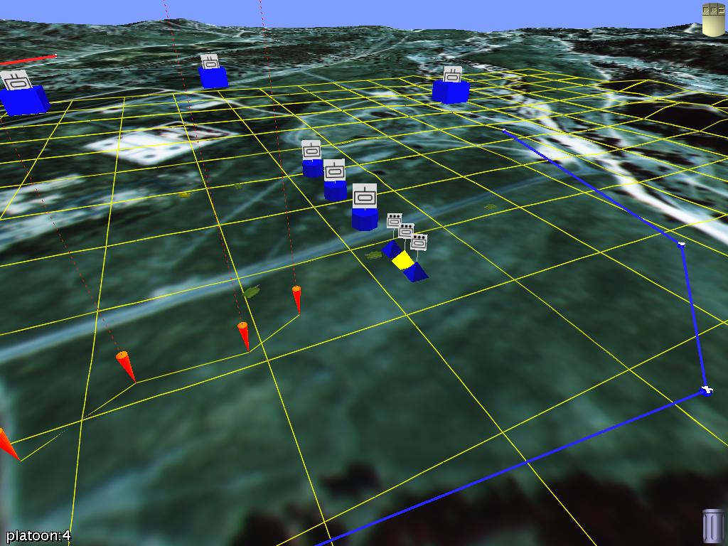
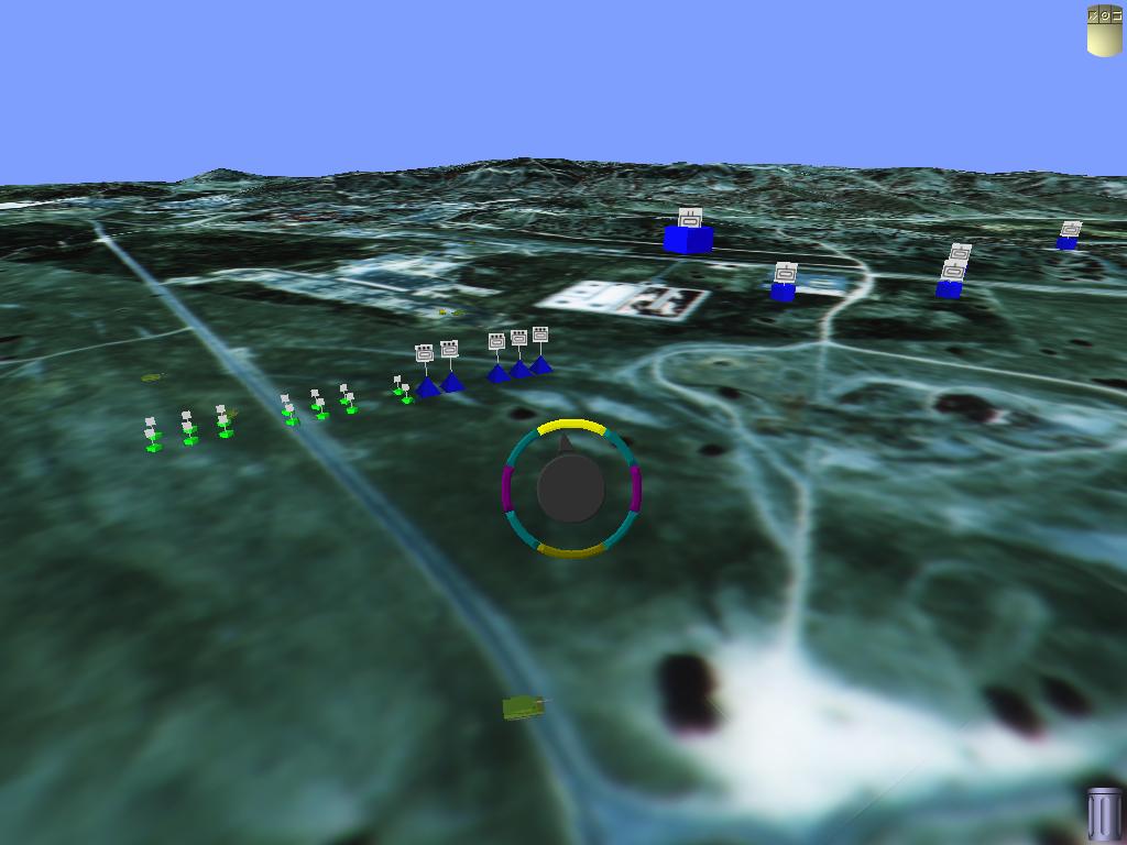
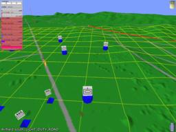
Military unit symbology |
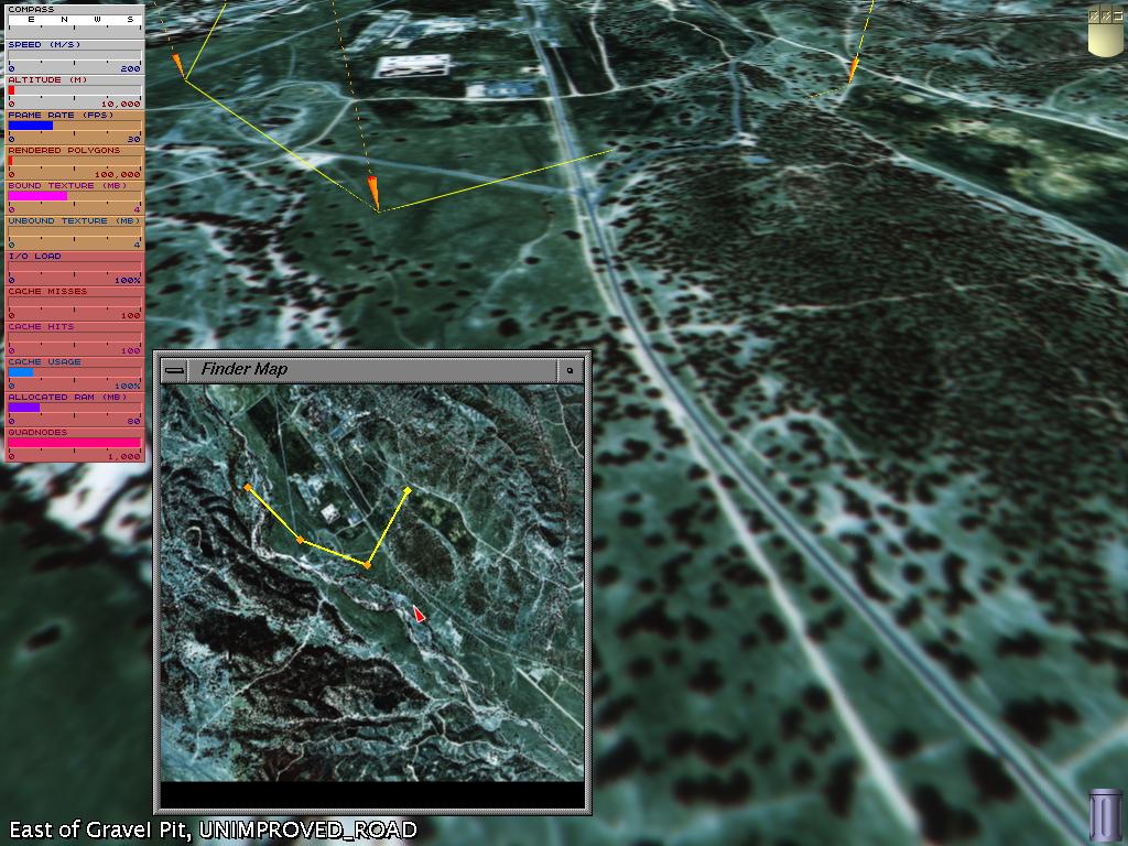
3D Navigation |
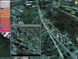
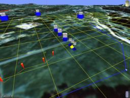
GIS query |
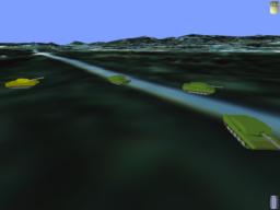
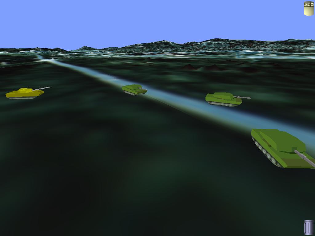
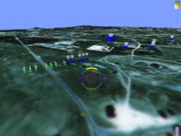
Animated tanks |
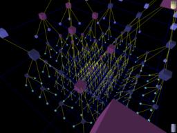
Visualization of dynamic quadtree |